Easy
Bergeralm Circuit
Hiking Trail
Information
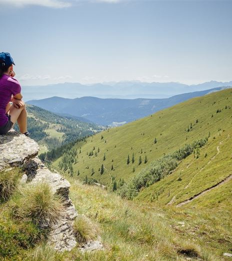
The suggested tour leads to numerous great spots on the Gerlitzen, always accompanied by views of the Carinthian low land.
Hiking Trail
Difficulty
Easy
Distance
4,89 kmDuration
01:30 hUphill
204 mDownhill
204 mMax. Altitude
1908 mMin. Altitude
1704 mMap & Elevation Profile
Recommended Equipment
Trekking shoes with profiled soles, bag, functional clothes, rainwear, hiking poles, food, drink, maps, first aid and mobile phone
Features & Characteristics
Experience
Landscape
Endurance
Best Season
Jan
Feb
Mar
Apr
May
Jun
Jul
Aug
Sep
Oct
Nov
Dec
Arrival
Annenheim is best reached via the A10 exit"Villach-Ossiacher See". From the valley station of the Gerlitzen take the cable up to the mountain station on the peak of the Gerlitzen.


