Medium
Austria-, Slovenia- & Italia-Runde (5)
Hiking Trail
Information
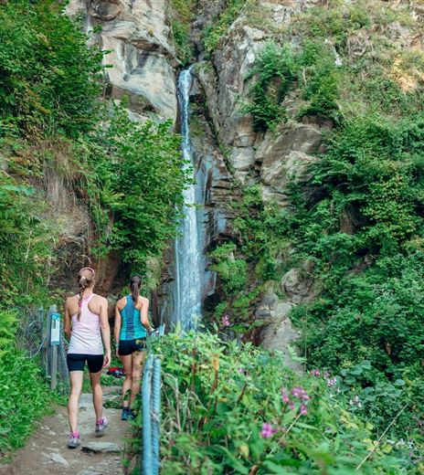
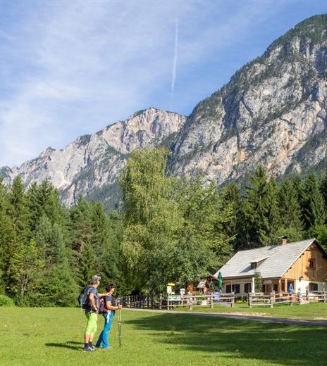
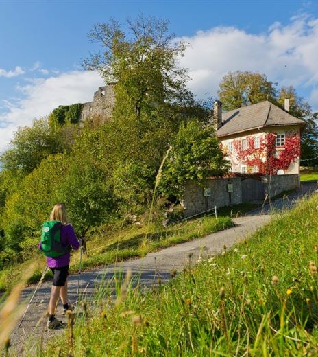
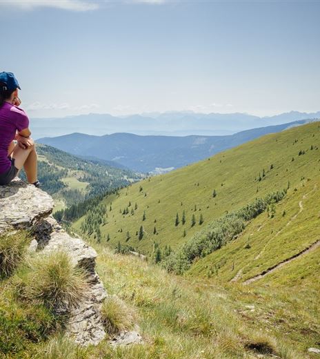
The tour takes you through all three countries of the Alpe Adria region and impresses with varied and partly historic sections of the route with beautiful views of the Julian Alps and the Villacher Alpe.
Hiking Trail
Difficulty
Medium
Distance
6,87 kmDuration
04:30 hUphill
372 mDownhill
372 mMax. Altitude
1508 mMin. Altitude
1182 mMap & Elevation Profile
Recommended Equipment
Mountain boots with treaded soles, backpack, functional underwear, rainwear, hiking poles, food and drink, maps, first aid kit, mobile phone
Features & Characteristics
Experience
Landscape
Endurance
Best Season
Jan
Feb
Mar
Apr
May
Jun
Jul
Aug
Sep
Oct
Nov
Dec
Arrival
Take the A2, B83, or B111 to Arnoldstein. At the western edge of the village, a paved road branches off to the valley station of the Dreiländereck ski and hiking area (Seltschach).


